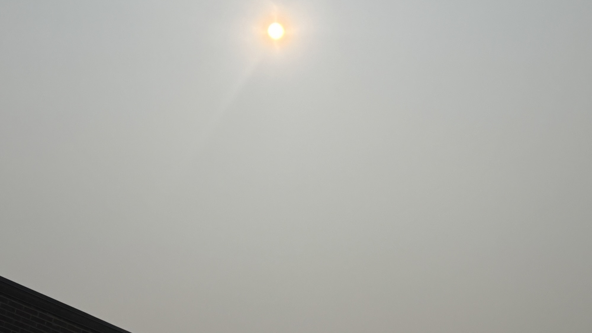
It may look like fog, but it’s smoke.
The gray, washed-out skies hanging over northeastern North Carolina this week are the result of wildfires burning more than 1,500 miles away in Canada, where one of the country’s busiest wildfire seasons has sent smoke drifting across much of the eastern United States.
The National Weather Service says smoke from Canadian wildfires has spread across much of the Mid-Atlantic, obscuring the sun and creating hazy conditions throughout the region. While much of Thursday’s smoke remained high in the atmosphere, forecasters expect more of it to settle closer to the ground Friday, potentially reducing visibility and affecting air quality.
The haze has had one unexpected benefit. By filtering some of the sun’s rays, the smoke has kept temperatures slightly lower than earlier forecasts, although conditions remain hot and humid. High temperatures are still expected to climb into the mid-90s through Saturday, with heat index values reaching as high as 107 degrees Friday.
The National Weather Service has not issued an Air Quality Alert for northeastern North Carolina, but officials caution that smoke could become more concentrated near the surface Friday. Air Quality Alerts were issued Thursday for portions of Virginia and Maryland as smoke concentrations increased.

A long journey from Canada
The smoke originates in Canada’s boreal forest, a vast expanse of spruce, pine and fir stretching across much of the country’s northern interior. Wildfires are a natural part of that ecosystem, but dry weather and periods of above-average temperatures have allowed many blazes to grow rapidly this summer.
According to the Canadian Interagency Forest Fire Centre, nearly 850 wildfires were actively burning across Canada by mid-July, with more than 180 in Ontario alone. While the 2026 season began more slowly than the record-breaking fire years of 2023 and 2025, activity increased sharply as warm, dry conditions developed in late June.
Satellite imagery released this week by NASA shows enormous smoke plumes streaming southeast from northwestern Ontario across Quebec and into the Midwest, Great Lakes and eastern United States.

How does smoke travel so far?
Wildfire smoke can travel thousands of miles because the smallest particles are carried high into the atmosphere, where fast-moving upper-level winds transport them across continents.
“When smoke remains high overhead, it mainly filters sunlight, producing hazy skies and vivid orange or red sunrises and sunsets,” NASA explained in an Earth Observatory report released Thursday. “Where it drifts closer to the ground, air quality worsens.”
That is exactly what forecasters expect to happen Friday.
The National Weather Service says smoke is likely to become more surface-based as it spreads south, increasing the potential for lower visibility and poorer air quality before showers and thunderstorms help disperse the smoke later Saturday.
Health concerns depend on where the smoke is
Not all smoke events pose the same health risk.
When the smoke remains several miles above the ground, it primarily affects visibility and the appearance of the sky. Once it mixes downward, however, it carries tiny particles known as PM2.5 that can be inhaled deep into the lungs.
The Environmental Protection Agency recommends that children, older adults, pregnant women and people with asthma, chronic lung disease or heart disease reduce prolonged outdoor activity when air quality deteriorates. Even healthy people may experience eye irritation, coughing or shortness of breath during periods of elevated smoke.
Residents can monitor local conditions through the EPA’s AirNow website, which provides real-time Air Quality Index readings and health recommendations. The National Weather Service also recommends checking local forecasts as smoke concentrations can change throughout the day.
Weekend storms should improve conditions
The hazy skies are not expected to last much longer.
A slow-moving cold front is forecast to approach the region this weekend, bringing increasing chances for showers and thunderstorms Saturday through Monday. Forecasters say the rain and shifting winds should help clear much of the lingering smoke while also providing some relief from the persistent heat.
Before then, residents should continue to expect hazy skies, hot and humid weather, and the possibility of patchy smoke through Friday.
The smoky conditions affecting North Carolina are part of a much larger event stretching from the Great Lakes to New England. In several northern states and parts of Canada, smoke has reduced air quality to unhealthy or even hazardous levels, prompting officials to issue health advisories and encourage residents to stay indoors.